★★★★☆ | Highest point: 2,340 m | Easy to very difficult hiking options |
You need to be a little hardcore to hike all the way up the Dent de Folliéran – because there is no trail at the top. No markers, no cairns, nothing, just an extremely steep slope through slippery grass with cliffs all around.
I am not hardcore enough to attempt it by myself. I’d only ever do with someone who knows mountains, has a good sense of direction and can do useful things like read a map. Like James. And even then I got stuck in some cliffs. Ahem.
The reward for getting to the top is a view of the surrounding Fribourg PreAlps across to the Jura – and in summer, an incredible number of edelweiss. You still get a lovely view of the surrounding mountains – such as the Gastlosen, Dent de Brenleire and Vanil Noir – on the easier option of climbing just halfway up the mountain, and even simply taking a stroll up the valley from the carpark.
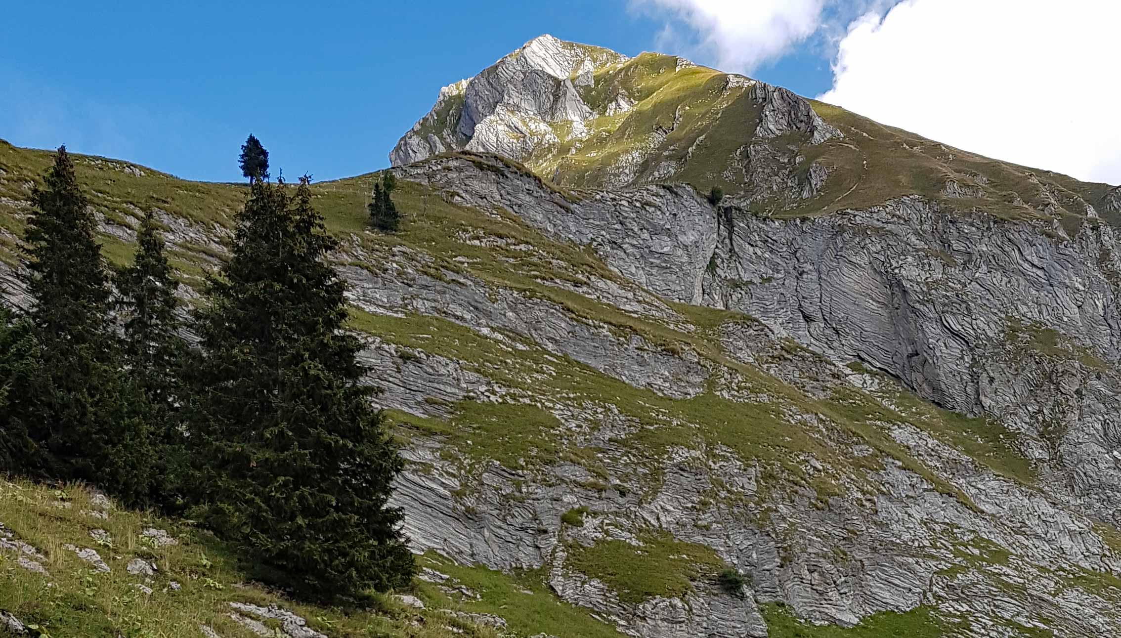
Photos from our hike up the Dent de Folliéran


Hiking trail info – Dent de Folliéran
All options start and end at the Gros Mont parking area (46°33’32.8″N 7°12’05.2″E). There is no public transport, and there are no restaurants or shelters on the hiking trail.
Our (difficult) hike: Gros Mont – Dent de Folliéran – Gros Mont
Dent de Folliéran summit: 2,340 m
Height gain: 1,000 m
Technical details: Very steep in places; no path in places; no chains or ladders
Return distance: approx. 12 km
From the car park, walk along the road up the valley then follow the marked trail for the Vanil Noir. This trail follows along a river through the forest.
At some point you need to cross the river. There is no sign or marker – you need a map to know where to cross. After crossing the river, keep following the trail up the Dent de Folliéran to the two barns. The path is not marked, but clear. The first barn is around 4 km from Gros Mont, and the second about 5 km from Gros Mont.
The trail stops after the second barn. From here on you walk more-or-less straight up the grass, keeping to the right. It’s very steep near the top and slippery because of the long grass. It would be very dangerous in mist, bad weather or when wet. The kids gave up before reaching the top.
The way down is the same as the way up. Be careful to find the track when you get back down to the barn… and don’t get lost in the cliffs like I did.
Other hiking options
Easy hike: From the car park, walk along the flat road up the valley then follow the marked trail for the Vanil Noir for as far as you like.
Moderate hike: Walk up to the two barns, where the trail ends.
Very difficult hike: The hike can be made longer and more difficult by first climbing the adjacent Dent de Brenleire, then traversing a cliff on the north side of the Dent de Folliéran before climbing to the summit. This is what we originally planned. However, once we got up the Dent de Brenleire the cliff traverse looked a lot harder than James had thought, so we did the two hikes separately.
Hiking trail map – Dent de Folliéran, Fribourg, Switzerland
(GPX download under the map)
(This is the map we used, and not the actual trail we walked recorded by James’ watch – which includes James going back to rescue me from the cliffs. He didn’t think the back and forth looked very good.)